It has just been announced that Gwrych Castle in North Wales is to receive £2.2 million from the National Heritage Memorial Fund. The money will be spent to stabilise the ruins, reinserting new floors and rooms in order to bring a suite of rooms back into use. The money is the latest development in the somewhat chequered history of the house, which has most recently been in the news as the host of the series I’m a Celebrity, Get Me Out of Here during the lockdowns of 2020 and 2021.

It is often
observed that Gwrych Castle is a relatively modern creation: a neo gothic fantasy
of the early decades of the nineteenth century. In fact, as I discovered on a
recent visit, it has a much longer history. At the heart of the ruins as they are
today is a medieval house, called Bronhaul or Y Fron, part of the Lloyd family
estate. By the early nineteenth century this house had been damaged by fire,
and it became instead the heart of Lloyd Hesketh Bamford-Hesketh’s fantasy creation
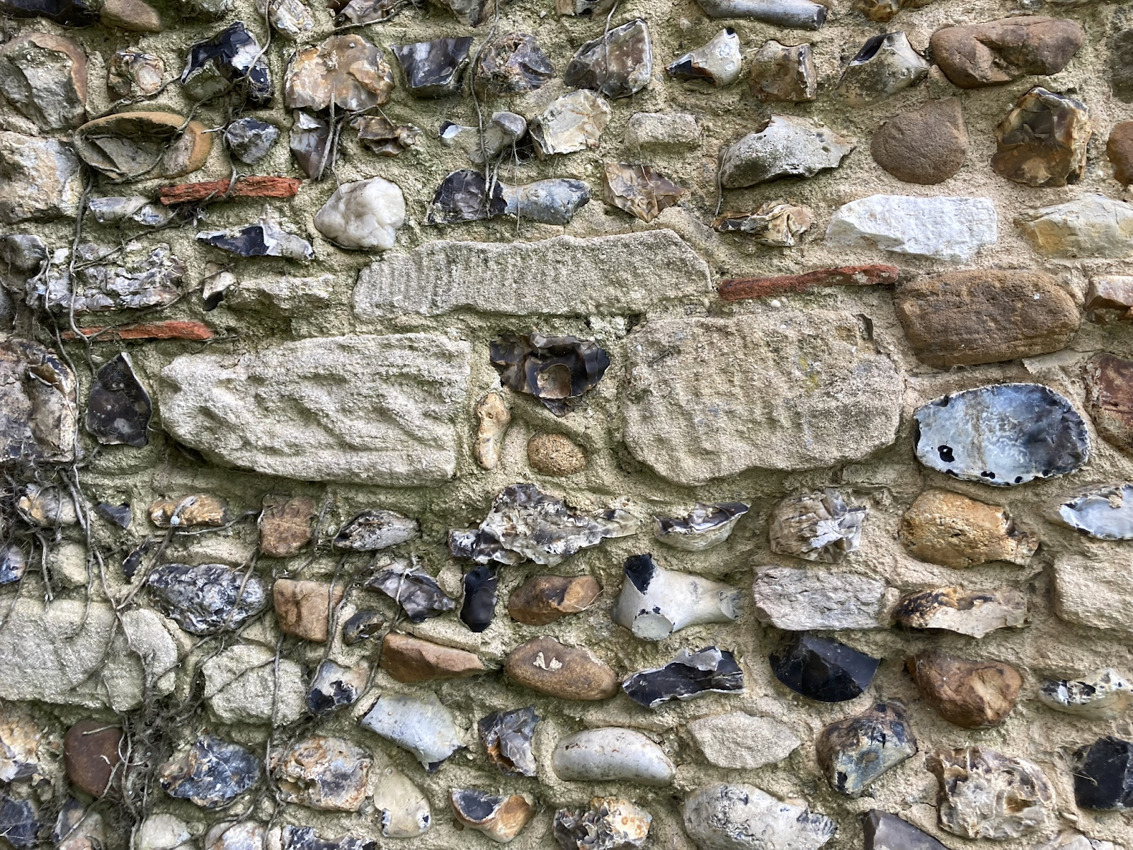
of Gwrych Castle. Some of the fire-damaged timbers of this earlier house can
still be seen in the ruins of the castle today.

Lloyd
Hesketh Bamford-Hesketh, born 1788, was a ‘man of taste’ who set about to
honour his family’s ancestry by concocting a picturesque vision of a rambling,
medieval castle. He commissioned Charles Augustus Busby (1788-1834) to produce plans
in 1813, and was pleased with the results. But within a few years, having
inherited the property outright in 1815, Lloyd adapted Busby’s plans. He adapted
Busby’s essential idea – of two wings around a central tower – but instead
chose to take advantage of the local topography by setting the castle into the
hillside. For materials, he quarried limestone and mined lead, and he engaged
Thomas Rickman of Liverpool to create a new set of elevations. Work began in
1819 and was mostly finished by 1822. Cast iron was used to create gothic
window tracery, encasing stained glass windows. The effect must have been
overwhelming.

Gwrych
remained a lived-in family home for another century or so. Lloyd’s
granddaughter, Winifred, became Countess of Dundonald on marriage. She continued
to make changes to the house, engaging Detmar Blow to make several significant
interventions including a grand marble staircase. Winifred died in 1924, leaving
the house to the Prince of Wales, who declined it such that the Church of Wales
became the owner. The Earl of Dundonald bought it back, claiming his wife had
gone mad. But no member of the family lived there ever again.

Gwrych
Castle then suffered the fate that so many houses suffered in the second half of
the twentieth century: ever-changing and revolving ownership, leading to eventual
demise. During the war the house was used by Jewish refugees who came across in
1939 on the Kindertransport. After the war the place was opened as a visitor
attraction, offering medieval jousting spectacles – it was ‘Britain’s first
theme park’ according to Mark Baker. In the late 1980s the house was sold again
to an absentee American businessman. During this time the structure was subject
to vandalism and the wilful salvage of timbers, lead and other materials. By
the mid 1990s the castle was in a ruinous state, having become a squat for New
Age Travellers. Mark Baker, just 11 years old in 1997, set up a Preservation
Trust with the help of his family, to raise awareness of the castle’s history.
In 2018 the trust was able to purchase a lease of the castle, and begin its work
to reverse the years of neglect and bring this magical place back to life.

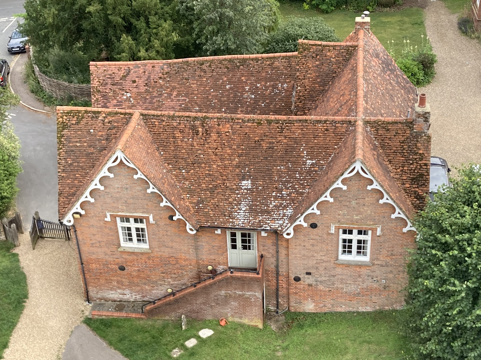
I visited on
a busy day in early August 2023: the car park was rammed and visitors were
enjoying the experience. A magic potion event was taking place in the castle
itself: a theatrical experience, taking full advantage of the Hogwarts-like
setting. The holiday accommodation in the castle lodge was fully booked for the
season. There were adverts for hiring the castle as an events space: for
weddings or private parties. These, along with I’m A Celebrity, of
course, are the means by which houses sustain themselves in the early
twenty-first century.